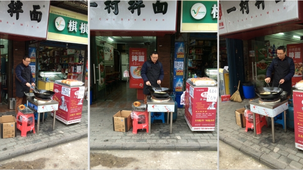
Photogrammetry is the science, technology and art of obtaining reliable information from non-contact imaging and other sensor systems about the Earth and its environment, and other physical objects and processes through recording, measuring, analyzing and representation. In this case, photogrammetry is used to create 3D models from series of photographs taken at various angles.
IMG 9773 by johncraigfreeman on Sketchfab
Geo-located Augmented Reality allows people to experience alternative realities at site specific locations. The public can simply download and launch a free mobile app and aim their devices’ cameras at the surrounding physical place. The application uses location detection technology to superimpose virtual objects, people or scenes at precise GPS coordinates, enabling the user to immerse themselves in the work as if they existed in the real world.
After meetings with stakeholders in Hankou, I had the opportunity to test if geo-located augmented reality was even possible on Chinese mobile networks. Zhang Heer helped me acquire a local SIM card for my phone at China Unicom, a local provider.
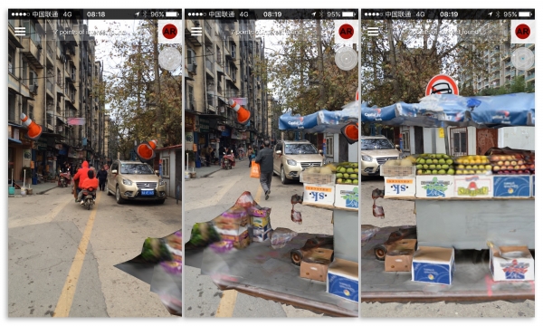
Although fraught with suspicious anomalies, the mobile networks of the city were active enough to open temporary access to alternative realities emanating from New York City and Los Angeles.
![]()