

The Climate Kit: Field Tools from the Anthropocene exhibition at the Otago Museum was a big success with a great turn out on opening night, despite the morning ice storm. Check out this interview we gave during the final hours of the installation process with 39 Dunedin TV.

The Living Map
Bridie Lonie, Luke Easterbrook, Beth Ferguson, Sara Dean

The Living Map adds three-dimensionality to the projections often used in modeling the effects of climate change. Historical, present and future geological projections provide important data for the resiliency planning regarding coastal sea level inundation. The digital map layers are from Surging Seas, the Dunedin City Council, the Otago Regional Council, and the National Library. This project was led by Bridie Lonie from the Dunedin School of Art along with Sara Dean and Beth Ferguson from the ZERO1 New Zealand Arts Incubator with the help of Luke Easterbrook from the University of Otago, the Otago Museum, and Workspace and Andrew Early at Otago Polytechnic.
Dunedin Youth Map
Karen Parker, Jen Smith, Tahuna Normal Intermediate School 7th grade class

The Dunedin Youth Map was led by 7th grade teacher, Karen Parker, of the Tahuna Normal Intermediate School. She developed civic icons with her students and then created a community participatory map for the Otago Museum Climate Kit exhibition. The public was invited to interact using a combination of the icons, emoji, and eco icons from the Green Map System. Karen’s 7th grade class joined us for a day of balloon mapping to document their sports field, a site that is vulnerable to flooding due to saltwater inundation with sea levels rising on the coast of South Dunedin. The class plans to continue to develop the Dunedin Youth Map project this year.
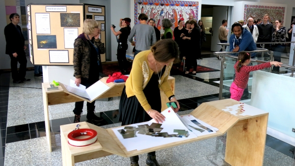
Stones and Bones: A Geological and Paleontological look at New Zealand
Amy Smith, Katherina Marino, Rebecca John

Most people do not think about climate change on a geological scale. The Stones and Bones exhibit is meant to show visitors that the rocks and fossils beneath our feet tell a story. We can learn about paleoclimates and see how vastly different our surroundings used to be. The Stones and Bones project shows a rock core columns and a panel engaging geological history and human engagement with rocks and fossils, with particular emphasis around the Otago region.
Shedding Some Light: Dunedin’s Dark Skies Initiative
Emma Hanisch, Conor Feehly, Ravitesh Ratnam, Colin Smillie

This project relates to the Dark Skies Initiative proposed by the Dunedin City Council. They are considering the implementation of shielded LED street lighting to replace the current sodium models. While this is a council vote, the public is involved in the decision-making process. Therefore, our aim was to create an exhibit which will initiate interest in light pollution and solutions. We provided information on the different options the council are considering along with examples of lighting solutions currently being implemented across the globe. Elements of the exhibit include information panels on doors covering many different topics related to the Dark Skies Initiative, and a box containing alternate street light models and images of the night sky from Dunedin.